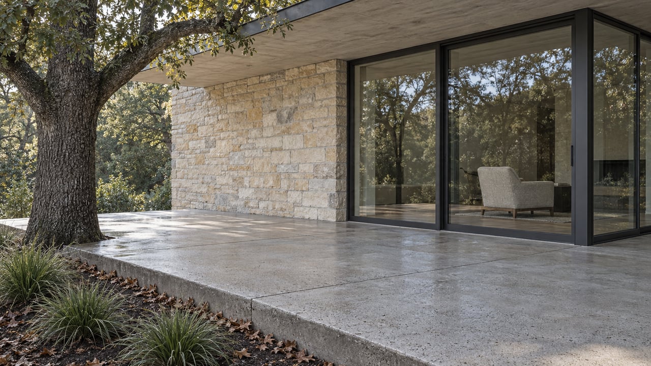
Shoal Creek Trail Near Pemberton Heights: November 2026 Guide
November 5, 2026
November 5, 2026
When did you last walk the Shoal Creek Trail along Pemberton Heights into Pease Park and stay beside the creek the whole way? For most of 2026 you couldn't. Between West 24th and West 31st Street, the new trail paths the City has finished sit along North Lamar Boulevard. The shady stretch through Pease Park, the part of the trail that actually follows the creek, is the one that has been closed since spring.
So this month the trail runs mostly on the boulevard. Here is how it breaks down block by block, which pieces are permanent, which are temporary, and where the route ends up.
The biggest change this year is the Middle Gap, the stretch between West 29th and West 31st Street. The City reports that the work was completed in July 2026, three months ahead of schedule. It isn't a creekside path. It's a rebuilt edge of North Lamar:
The last change in that list matters to anyone who drives south on Lamar toward home. If you still reach for the San Gabriel turn out of habit, it's gone. According to the Shoal Creek Conservancy, the City and the Conservancy celebrated the finished segment on August 22, along with the connected neighborhood bikeway improvements.
The Middle Gap is the second Lamar-side upgrade near the neighborhood. In October 2024, Austin Parks and Recreation replaced the 5-foot sidewalk on Lamar, across the creek from the old landslide area, with a 12-foot sidewalk. The City lists that section as complete and open. Both projects follow the same pattern. The finished trail grows along the boulevard, and the creek corridor waits.
The trail segment through Pease Park, from Shoal Creek Boulevard north to the Janet Fish Bridge just south of 29th Street, closed on April 27 for repairs. The Shoal Creek Conservancy describes the stretch from Gaston Avenue to the bridge as "beloved" and "shady." It also says this section has been in substandard condition for years, with rough surfaces and manhole covers that are hard to get around. That has made it a missing link in the city's All Ages and Abilities trail network.
Austin Parks and Recreation is resurfacing the trail and restoring accessibility so that, when the work is done, all users can travel the stretch safely and comfortably. The City originally expected to finish in late June. The Conservancy's trail closures page says permitting delays and crew availability stretched the closure, and it lists the new end date as "November 2026 (estimated)." The City's parks closures page gives the same window, April 27 to November 2026, in an entry last updated September 9.
Until it reopens, the detour runs along the sidewalk on the west side of North Lamar between Shoal Creek Boulevard and 29th Street. Check the City's closures page before you set out. November is the month this section is scheduled to come back, and once it does, the walk from the Janet Fish Bridge to Pease Park moves off Lamar and back under the trees.
Here is the corridor from south to north, using the City's names for each piece.
| Segment | Where | Status this month | What you walk on |
|---|---|---|---|
| South Gap | West 24th St to 2800 Shoal Creek Blvd | Closed indefinitely since the 2018 landslide | Widened Lamar sidewalk, then limestone stairs across the creek |
| Pease Park repair | Shoal Creek Blvd to Janet Fish Bridge | Closed since April 27, estimated through November 2026 | West-side Lamar sidewalk to 29th St |
| Middle Gap | West 29th St to West 31st St | Finished July 2026 | 12-foot shared-use path and 10-foot terracotta bike path |
| North Gap | West 31st St to West 34th St | Traffic calming in place, parkland trail in early engineering | In-street walking lane with a low barrier |
Both segments where the trail follows the creek are closed this month, and the open route runs on a boulevard path and a street lane.
The South Gap has the longest history. On May 4, 2018, a landslide on the cliff overlooking Shoal Creek, just south of the park parking lot on Shoal Creek Boulevard and north of 24th Street, destroyed part of the greenbelt trail. The City's slope failure project page says the original trail will stay closed for safety. The detour follows the Lamar sidewalk and rejoins the west bank trail at limestone stairs that cross the creek.
The City's closure entry for 24th to 29th along North Lamar still reads "Closed Indefinitely." It says Parks and Recreation is working with Transportation and Public Works to plan, design and build improvements to the detour route east of the creek.
The plan for that route is clear. A 12-foot urban trail would run along the west side of North Lamar from the West 24th Street underpass to the Shoal Creek Boulevard parking lot, with better crossings. After public feedback, the City kept two-way car traffic on Shoal Creek Boulevard. The design adds a walking lane on the north side of the southern bridge, a raised crossing, and shared-lane bike markings to keep speeds low. The City says construction funding has been identified for the South Gap. Once it's built, this section will be another Lamar-side trail, not a return to the old path along the creek.
The North Gap, from 31st up to 34th Street, has already had its pilot. The City removed the in-street pilot trail and installed traffic calming and shared-lane markings. It also restored the old walking lane along the south curb and added a low physical barrier.
On the Shoal Creek Boulevard side, people in the public process preferred upgrading the sidewalk through the park to a full trail. The City is starting a preliminary engineering study for that option. Funding for the study is identified. Funding for building the parkland trail, widening the sidewalk between the trailhead and Lamar, and installing a full signal at 31st and Lamar is not. For the foreseeable future, the 31st Street crossing will keep the crosswalk upgrades it got this summer.
If you ride the full trail north, there is one more work zone well beyond the neighborhood. The City began building the FM 2222 underpass at Shoal Creek Boulevard in August 2026, and work is expected to continue through summer 2027, with occasional trail detours and lane closures.
The repair stretch runs through Pease Park, where Kingsbury Commons sits at 1100 Kingsbury Street, and the Pease Park Conservancy calendar gives you reasons to make the walk through the rest of the fall.
If you bring kids along on a weekday, the Pease Park Splash Pad has run on limited hours, 8:00 a.m. to 2:30 p.m., since August 3, and the City says that schedule continues until further notice. If the Pease Park repair finishes on its estimated schedule, these walks will start under the trees again: from the Janet Fish Bridge south through Pease Park on a resurfaced path, with the Lamar sidewalk once again just the road beside the trail.
Being close to the Shoal Creek Trail is part of what a Pemberton Heights home is worth, and the work along this corridor keeps changing what that closeness looks like. If you're curious how that shows up in your own home's value, Tangela Bailey can walk you through it. Request a Personalized Home Valuation, and get a read on your property that accounts for the details only a neighbor would notice.
Stay up to date on the latest real estate trends.



Partnering with Tangela, I bring clients a well-rounded real estate experience built on collaboration, knowledge, and care. Together, we combine our strengths to guide buyers, sellers, and investors with confidence and clarity, making each step of the process seamless and rewarding.